The complete guide
Orléans Old Town on foot: the complete walking route from historic streets to the Loire
A detailed Old Town loop through Martroi, Sainte-Croix, Pothier, Bourgogne, timber houses, Châtelet and the Loire, with maps and practical choices.
Orléans Old Town rewards changes of scale: a long cathedral view, a timber-framed façade, a commercial square and then the sudden opening towards the Loire. The walk becomes much more interesting when you look for connections between places rather than collecting only the “prettiest streets”. River trade, university life, urban improvement and modern rebuilding all help explain what is visible today.
This guide proposes a flexible loop using heritage landmarks and the official audioguide’s city route. You do not need to buy an admission ticket or maintain a particular walking speed. Suggested times are planning estimates; opening conditions apply only to the buildings you choose to enter. Information was checked on 10 November 2026, with particular attention to low-season hours and closures.
1. Plan the loop: starting point, time and pace
Place du Martroi is a convenient start because it combines a major landmark and the tourist office. Two to three hours with breaks, excluding long museum visits, give a first reading of the centre. Allow a half-day if you like photography or want to enter monuments. A navigation app’s walking time is not the same thing as time spent discovering a city.
| Available time | Route | Priority |
|---|---|---|
| About one hour | Martroi, Sainte-Croix approach and selected streets back | Understand the centre’s layout |
| Two to three hours | Loop to the quays and back through Châtelet | Alternate buildings and landscape |
| Half a day | Loop with cathedral, Groslot or the House | Keep a proper break |
The three-day Orléans itinerary distributes this walk with other visits. For a short day, begin outside and choose just one substantial interior. Spare capacity is useful when rain, an event or an unexpectedly interesting street changes the original plan. A good route gives you choices instead of making every small delay a problem.
2. Read the city: old axes and later rebuilding
The municipal Orléans au fil des siècles document explains two old organising lines: the east–west direction of Rue de Bourgogne and the north–south axis represented by Rue Parisie and Rue de la Poterne. This pattern helps explain why some streets feel fundamental even when their visible architecture belongs to much later periods.
History does not always survive as an exposed ruin. Streets change, buildings are adapted and functions move. Timber framing, monumental openings, post-war reconstruction and contemporary improvements coexist in the centre. A recently restored frontage is not “fake” simply because it looks clean; visible wooden framing does not automatically establish a medieval date either.
Three questions make looking useful: what is the main material, how is the façade organised, and what is the ground floor used for? Simple answers can reveal more than a long unconnected list of dates. Heritage documents and local panels then confirm the observation. They are more reliable than inventing a story from a colour or a building that merely looks unusually old.
3. Martroi: look at a square before crossing it
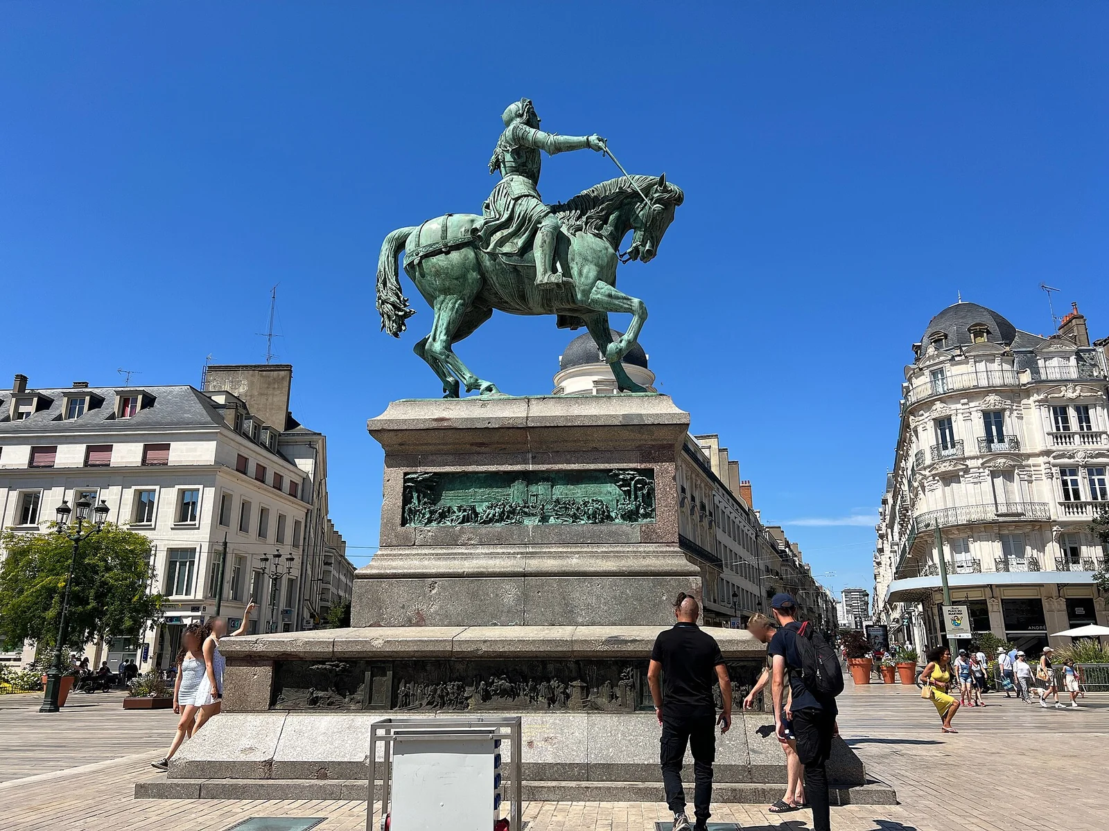
Begin with a broad view while staying in permitted pedestrian space. Joan of Arc’s equestrian statue, the façades and the openings towards adjoining streets organise the square. Locate the direction of the cathedral and your eventual return. This first pause builds a mental map: smaller streets are easier to understand when you know the major places they connect.
The Martroi statue belongs to nineteenth-century commemoration. The municipal heritage material dates Denis Foyatier’s installation to 1855. Its subject recalls 1429, but the object was not created during the siege. Keep that distinction throughout the walk, because later representations of Joan are valuable sources about memory rather than direct survivors of the events.
The tourist office at 23 Place du Martroi can confirm openings and reservation arrangements. Ask early if you want an audioguide or a guided circuit. A precise question such as “which Groslot rooms are open today?” produces more useful information than a broad request for everything worth seeing. Save the answer with the day’s plan, especially if it changes the order of your intended visits.
4. Rue Jeanne-d’Arc and the approach to Sainte-Croix
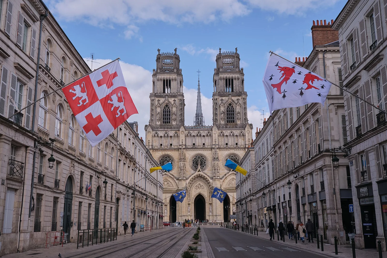
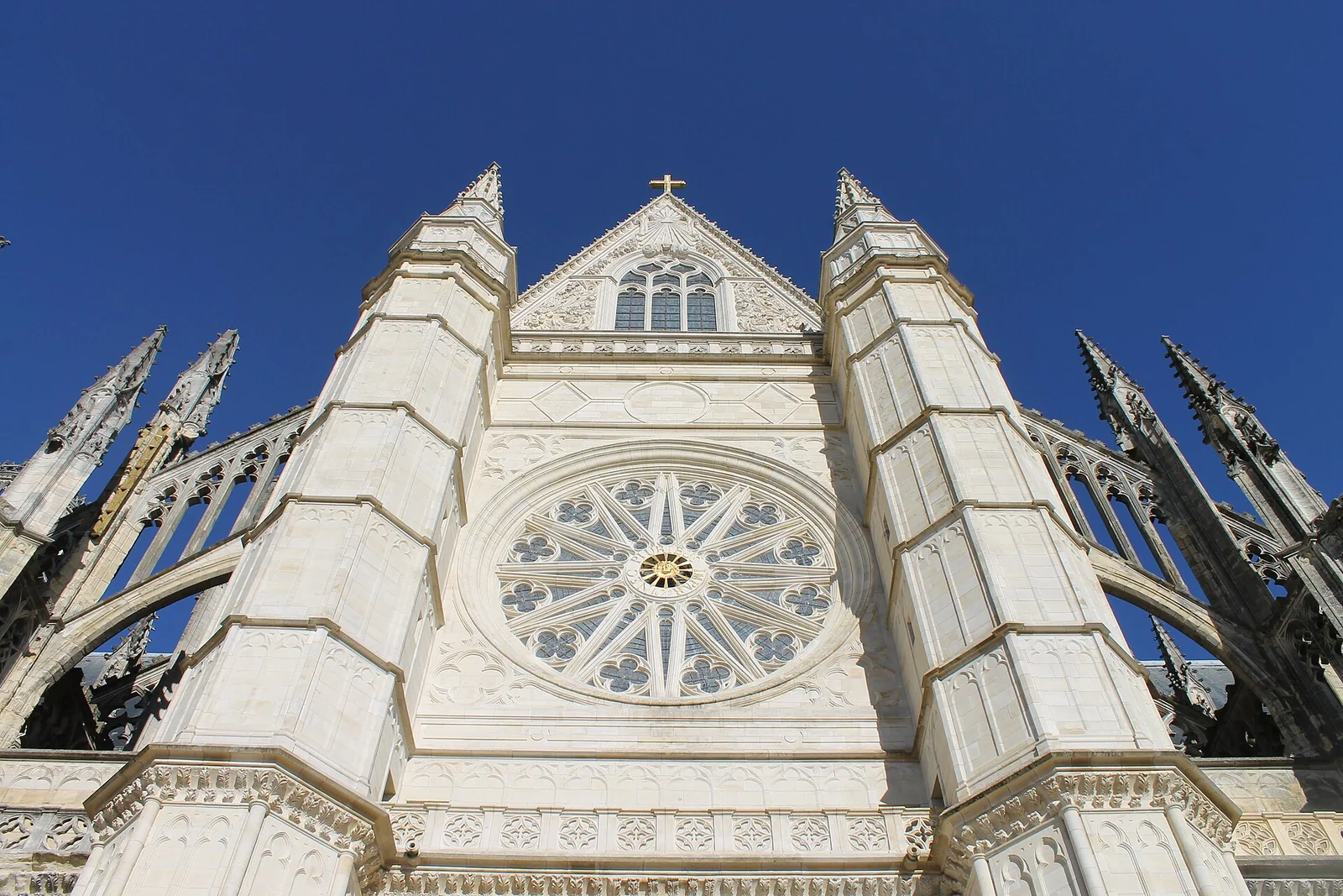
The approach is an experience in its own right. Look first at the towers in the street’s axis, then at the side façades and the proportions of the view. Monumental effect comes not only from the cathedral’s size but also from the framing provided by the city. A street can therefore explain how a place presents its most visible building.
For photographs, remain in safe areas and watch ordinary movement. Tram rails are not a camera platform for visitors. If traffic, a delivery or an event prevents the image you expected, change sides or return later. The walk remains worthwhile when the perspective is not as empty as a promotional photograph.
At the square, decide whether to enter now or keep the interior for another period. The cathedral’s official page lists free ordinary visiting and seasonal hours. Include the actual visit in your schedule: the Sainte-Croix guide distinguishes a short look, a thoughtful route and a separately organised upper-parts experience.
5. Groslot and the cathedral quarter
Hôtel Groslot immediately contrasts with Sainte-Croix’s stone. Brick, decorative detail and domestic scale invite another way of looking. This is a historic mansion, not accommodation. Approach to see the steps, then stand back to recover the overall façade. Close and distant views tell different parts of the building’s story.
The official tourism entry lists ordinary visiting as free. Interior access may nevertheless depend on ceremonies and present uses. If entry is unavailable immediately, continue the loop and keep the possibility of returning. There is no need to wait a long time for a room when the exterior and surrounding quarter already offer much to see.
The full Groslot guide explores the rooms and garden in greater depth. On this urban walk, notice relationships between buildings: religious monument, civil mansion, public space and current services form a working quarter. Not every courtyard or door is open to sightseeing, and an attractive passage may belong to private or administrative use.
6. Rue Pothier and the university’s memory
South of the cathedral, the quarter recalls the teaching of law. The municipal brochure explains that existing schools became a university in 1306, drawing students and teachers into this part of the city. Robert-Joseph Pothier belongs to another period, the eighteenth century, when his legal writing became influential. Several chronological layers occupy a relatively compact area.
The Salle des Thèses is a landmark on the official circuit. Inclusion on a heritage route does not mean continuous interior access, so check current visiting arrangements. A building can also matter for its position, name and remembered function among present streets. You do not need to enter every site in order to understand the quarter.
Slow down and notice the change in scale from Sainte-Croix’s large façade to more enclosed everyday spaces. For families, this is a useful place to ask what students need around a school: rooms, homes, shops and routes between them. History then becomes a way of reading urban organisation rather than a list of famous people who may once have passed through.
7. Rue de Bourgogne: explore it in short sequences
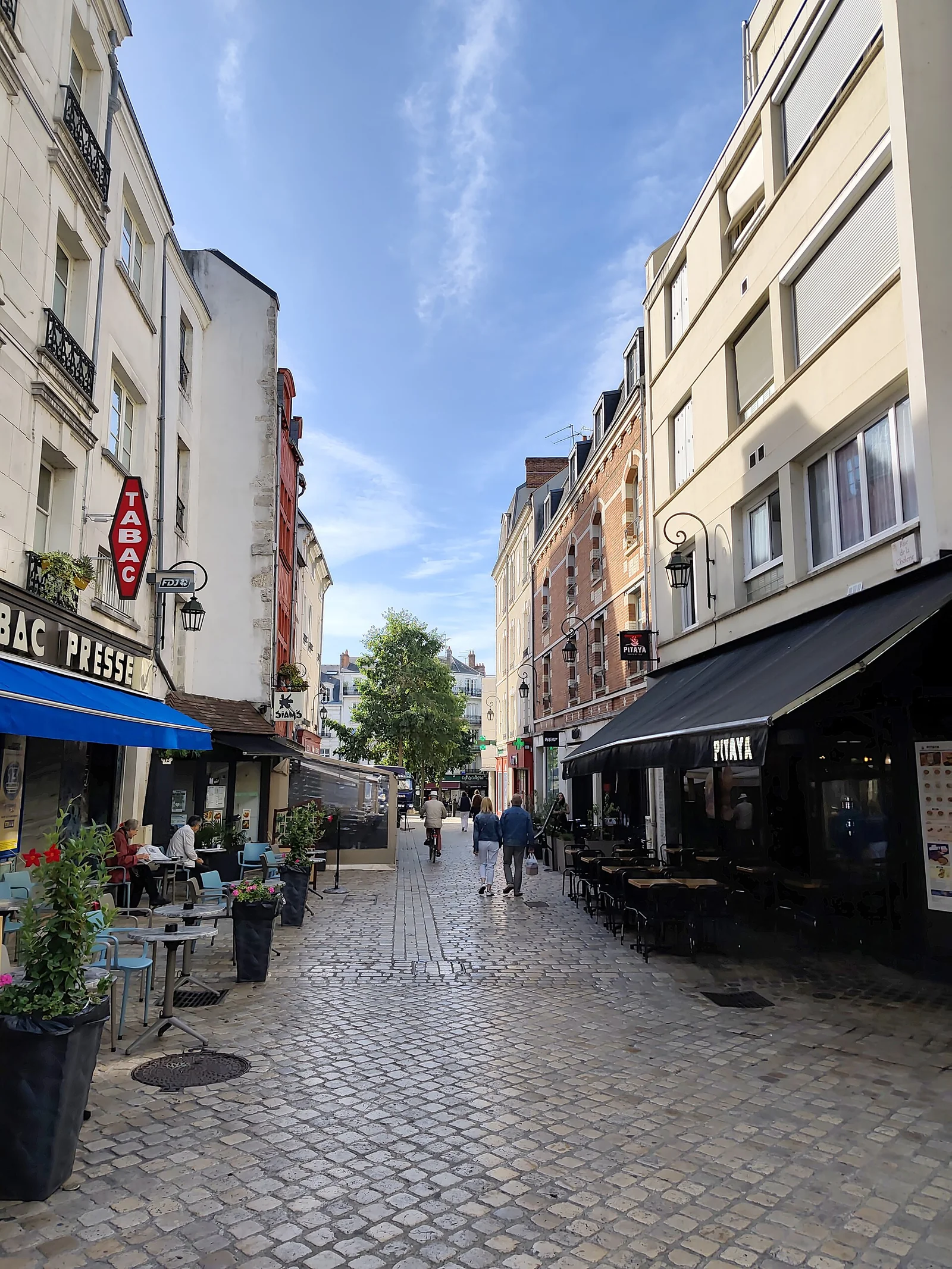
Rue de Bourgogne is one of the main threads of the Old Town. It should not be reduced to a restaurant address. Look at façades, intersecting streets and how activity changes with the time of day. A commercial street behaves differently in the morning, at lunch and in the evening, so the same route can offer several atmospheres without the buildings themselves changing.
Walk in short visual sequences: a façade, a line of buildings, an opening towards a side street. Looking above shopfronts often reveals more than simply following a sign for the Old Town. Avoid stopping suddenly in a narrow busy passage or immediately outside a doorway. A small movement to the side gives you time to observe without obstructing others.
If planning a meal, check the menu, kitchen hours and need for a reservation before continuing. Terraces do not guarantee that a full meal is served throughout the day or every day of the week. The Orléans food guide adds neighbourhood and product context without turning the walk into a search for one supposedly essential restaurant.
8. Timber-framed houses: observe without inventing a date
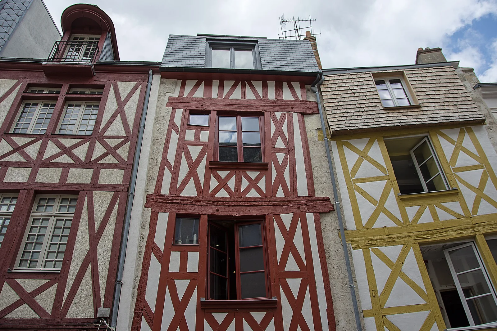
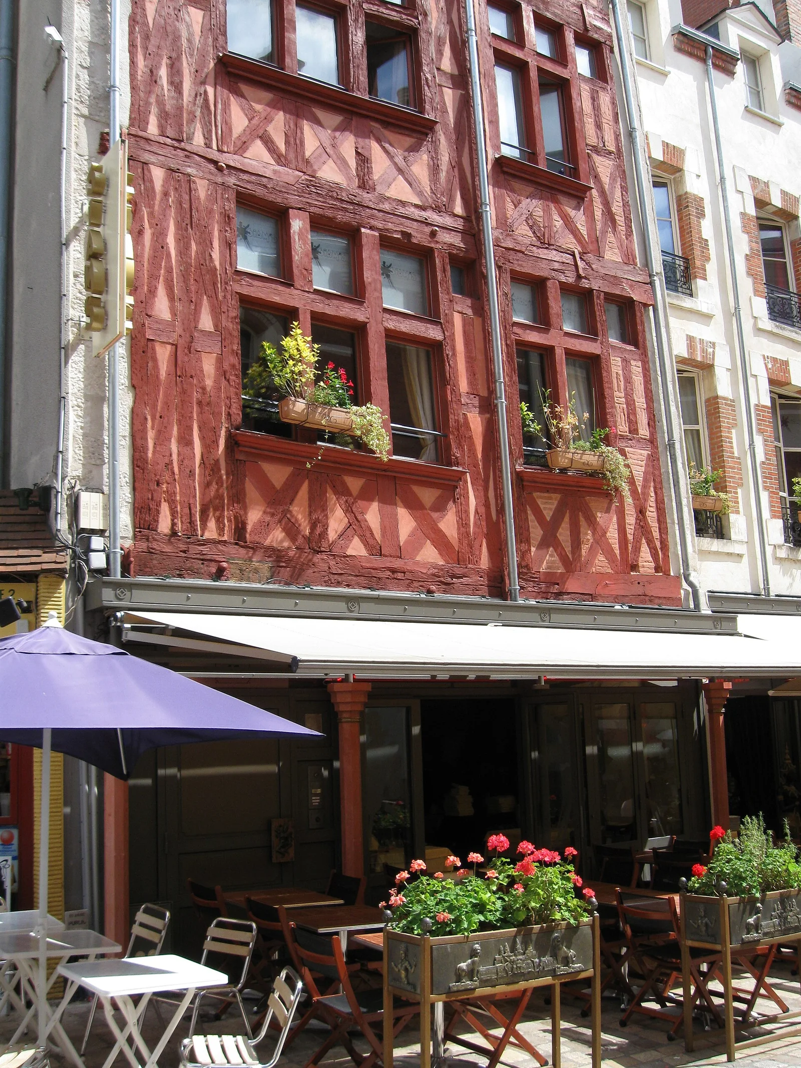
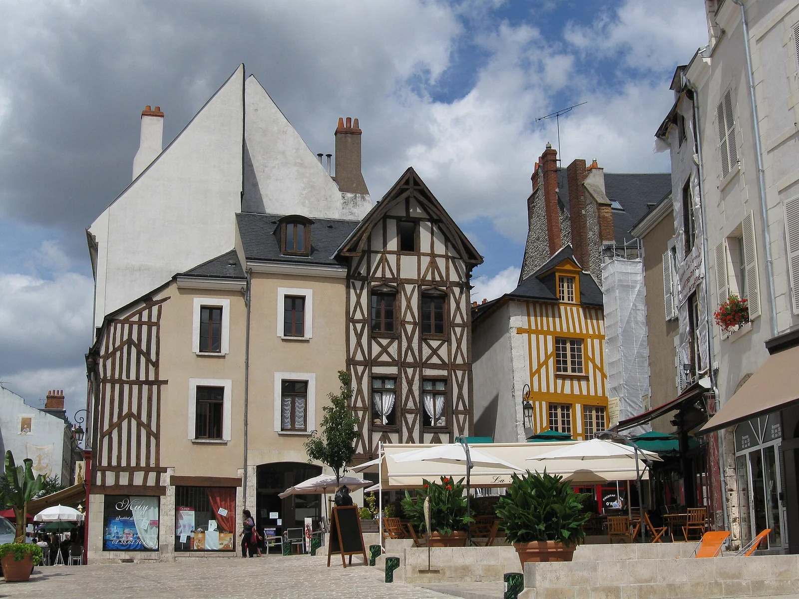
Timber-framed façades attract attention through pattern and colour. Look at how the structural pieces are arranged, where the openings sit and how the floors relate. Notice modern adaptations too: shopfronts, doors, render and restoration all tell a story of continued use. A historic house containing a contemporary business is part of the living city, not a detached scenic prop.
Do not assign a precise age from a paint colour or an apparently leaning element. Restoration can reveal a structure, and several building phases may coexist in one property. Heritage information and local panels are stronger evidence than a casual claim that something is “typically medieval”. Acknowledging what you do not know is more useful than repeating an attractive but unsupported explanation.
Respect residents in narrow streets. Photograph from public space, avoid looking into homes and do not push a door because a courtyard appears interesting. Choose a varied group of images: a street view, a timber detail and a comparison with a stone façade. Those photographs will tell you more afterwards than a long series of almost identical close-ups.
9. Poterne and Charpenterie: follow the connections to the river
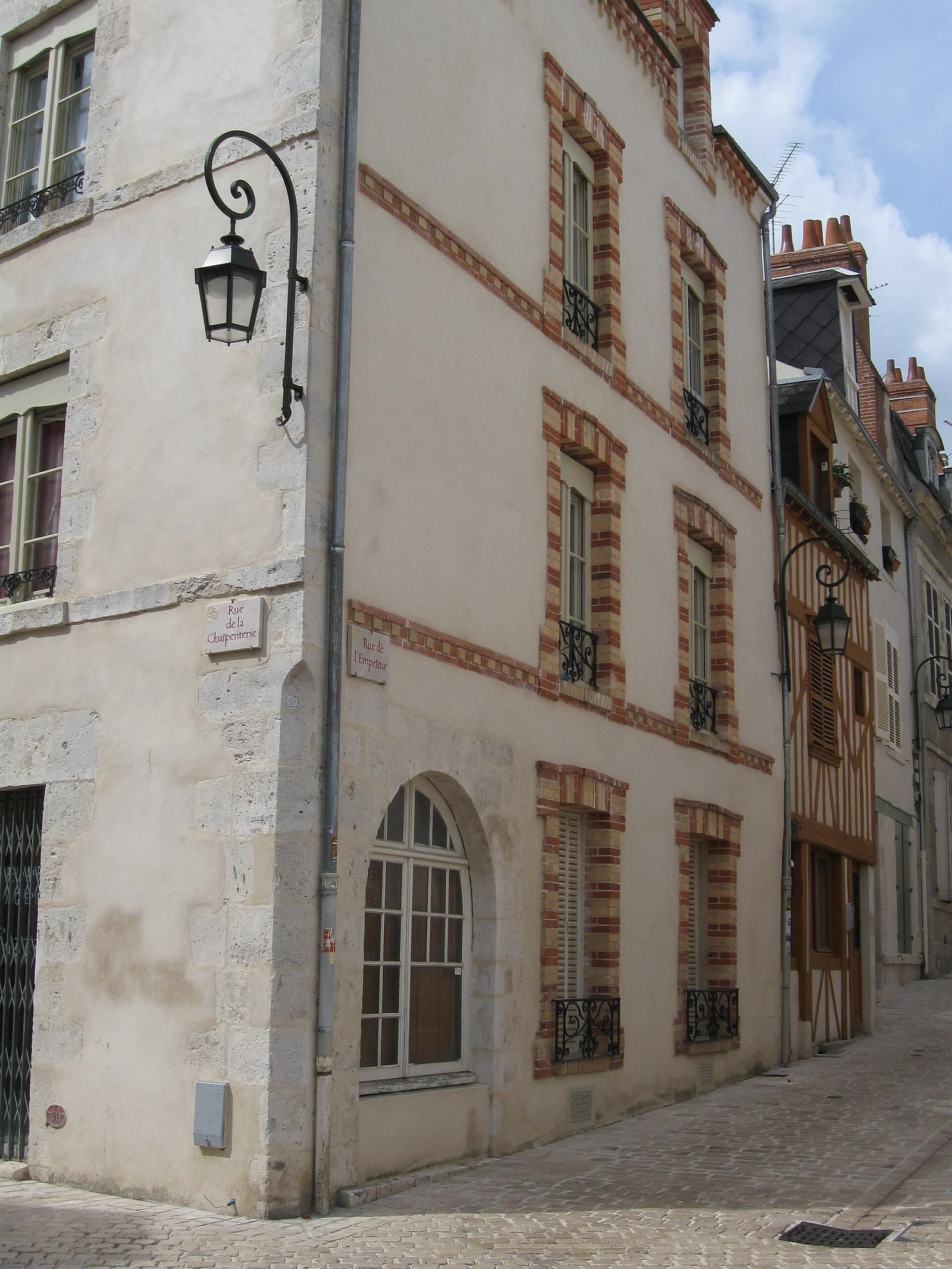
The official audioguide passes through Rue de la Poterne and the Charpenterie area before reaching the Loire quays. Names and directions offer another reading of the centre: streets are not only collections of frontages but routes towards a place of movement and trade. The transition from an enclosed urban fabric to the river’s open space is one of the loop’s most satisfying moments.
Keep the map available, but do not follow a shortcut that appears private or closed. A heritage circuit identifies landmarks; it does not authorise entry through every courtyard and staircase. During works, use the marked diversion. Aiming for the river or a major street usually restores orientation more easily than insisting on a passage that is no longer practical.
This is a good point to shorten the walk if people are tired. Reach the river for a brief pause, then return by a simpler route. The experience does not depend on following every turn. With a wheelchair or pushchair, check gradients, thresholds and low accesses before committing to a path close to the water.
10. The quays and George V Bridge: widen the view
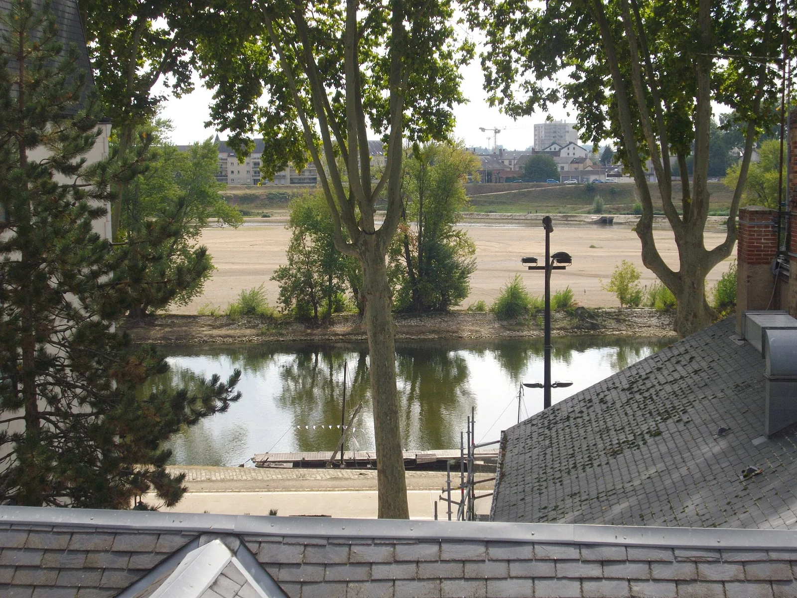
Stop on reaching the river instead of immediately walking onwards. Sky, water, banks and bridges replace the close framing of streets. Notice the centre’s position on the north bank and the relationship between trade routes and urban growth. This is not a frozen landscape: river levels and present uses vary with the season.
George V Bridge is a major landmark but not the intact crossing from the siege of 1429. Crossing it is optional on this loop. If wind, rain or tiredness makes it unpleasant, observe from the central bank. Do not step onto a sandbank or down towards the water assuming that it forms part of a secured visitor trail.
The Loire riverbanks guide provides longer alternatives. Here, allow perhaps twenty to thirty minutes for a pause and observation before returning towards Châtelet. In high-water conditions, local instructions and Vigicrues matter more than the route saved before the trip. A closed low path should be bypassed, not negotiated.
11. Châtelet and the markets: the commercial city
The Châtelet area links the riverfront to food and commercial life. Squares, passages and shops reveal present uses of the centre. At the covered market, do not assume that every trader operates identical hours or that every part opens on Monday. Food halls and other shops have different arrangements.
The city market page, checked in November 2026, lists food halls from Tuesday to Saturday,8 am–7.30 pm, and Sunday and public holidays,8 am–1 pm. Farther east, the Quai du Roi market is listed for Saturday mornings,7.30 am–12.30 pm. Check announcements and the individual business if a particular address is central to your plan.
A market pause can be modest: look at products, ask about their origins and try something small where available. It does not require assembling a full picnic. In cold or wet weather, choose somewhere to sit rather than forcing an outdoor meal beside the river because a summer itinerary recommended it. The point is to enjoy the commercial quarter, not reproduce another season’s experience.
12. Return through stone streets and the House quarter
The return towards Martroi provides an opportunity to compare more regular streets with the timber-framed areas. Rue Royale reminds you that the centre is not only medieval. Eighteenth- and nineteenth-century changes created other perspectives. Look at alignments, proportions and scale rather than deciding that a more regular street is automatically less interesting.
You can extend towards Place du Général-de-Gaulle and Joan of Arc’s House. The present building is a 1960s reconstruction after the destruction of 1940, making it part of the history of rebuilding and commemoration too. If you want to enter, the official page gives low-season afternoon opening from Tuesday to Sunday with additional holiday closures.
The Joan of Arc route develops that theme. Finish by returning calmly to Martroi and comparing your first impression with what you now understand. River, axes, materials and current functions should have begun to form a coherent picture instead of remaining a series of unrelated sights.
13. Official audioguide: price, collection and limits
The official historic-centre audioguide page lists € 9 per person, a suggested duration of two and a half hours and compulsory reservation. Collection is at the tourist office. French, English, German and Spanish appear among the available languages, making the service useful for visitors who want commentary while keeping their own walking pace.
Read the conditions carefully: identification is requested as a deposit, rental is limited to three hours, and an online reservation is limited to four devices. Check the collection slot for your date. CityPass holders must present the pass and follow the conditions for its valid day. A general inclusion symbol does not remove the need to understand collection and return arrangements.
Before buying, decide whether the route suits your walking speed and intended indoor stops. Three hours of rental does not necessarily leave room for a long lunch and a complete museum visit. A map and this guide may suit a very flexible walk; the audioguide is useful when you prefer structured commentary rather than repeatedly reading on a phone.
14. Accessibility, weather and walking comfort
The centre is compact, but that does not make every route equally easy. Cobbles, rails, pavements and slopes towards the quays require choices. With a wheelchair, walking aid or pushchair, prepare a simpler circuit and use major landmarks as return points. An adapted museum entrance does not guarantee that every shortcut between squares is equally suitable.
In rain, surfaces can become slippery and outdoor pauses less attractive. Alternate shorter walking sections with covered places that are actually open. In heat, the Loire does not automatically provide shade, so adjust the timing and carry water. In winter, use brighter periods and avoid leaving an unfamiliar riverside route until the end of daylight.
The TAO network helps you check transport options and disruptions. Using a bus or tram to save energy for the return is a sensible choice. The objective is to keep enjoying the buildings and streets until the final stop, not to reach an arbitrary step count or prove that the entire journey can be made without help.
15. Notice later changes as well as surviving old fabric
Orléans’ history includes significant destruction and rebuilding, particularly during the Second World War. The municipal heritage publication discusses the effects of 1940 and 1944. A visitor who looks only for medieval surfaces can miss this important layer. Regular frontages, rebuilt spaces and the way old routes continue through new work also belong to the historic centre.
Compare rather than rank the different periods. A timber house, a formal stone street and a reconstructed block answer different urban questions. How does each define the street edge? Where do shops meet public space? What makes a square feel open or enclosed? These observations remain useful even when you do not know an exact building date.
If a particular detail interests you, photograph its context as well as the detail itself. A close-up without a street view can be difficult to locate afterwards. Note the street name and use official heritage information for any precise historical caption. That small habit prevents uncertain observations becoming confident but inaccurate stories when the pictures are shared later.
16. Photographs, residents and the practical checklist
- ✅ Saved map and a clear return point.
- ✅ Shoes suitable for uneven surfaces.
- ✅ Water, rain protection and an extra layer when needed.
- ✅ Reservation and identification for audioguide collection.
- ✅ Opening hours for the buildings you genuinely want to enter.
- ✅ A seated break and a shorter alternative.
Vary street scenes, details and broader views. Avoid photographing inside homes, blocking a business entrance or arranging a group across a movement route. The centre’s appeal partly comes from remaining lived in and used. Other people should not become obstacles that sightseeing must remove.
If adding an outlying visit, give it a distinct slot. The Parc Floral de La Source and nearby châteaux need their own travel and planning. The central loop works best with a beginning, middle and end rather than constant interruptions to chase unrelated destinations.
On Saturday, decide early whether the Quai du Roi market belongs in the morning, since it is farther east and should not be added after traders have closed. On Sunday, some museum visiting starts later than on Saturday. A morning loop, lunch and an afternoon interior can then form a more natural sequence with less backtracking.
17. Choose commentary that matches your group
English-speaking visitors can prepare the street names in their original French form even when using an English commentary. A map may show “rue de la Poterne” while a translated description explains its role. Saving the French place name helps you recognise signs and ask a precise question without guessing a translated equivalent that local staff may not use.
If renting devices for a mixed-language group, confirm the available languages at collection and test the equipment before leaving the office. Ask how to pause, restart and locate the next stop. That small check is especially useful when one person prefers a longer look at buildings while another moves quickly. Agree on a few meeting points rather than expecting everyone to listen and walk in perfect synchronisation.
The published online limit is four audioguides per reservation. A larger group should contact the organiser instead of assuming that several last-minute bookings will guarantee enough equipment. If you need a human guide, ask separately about language, route, group conditions and whether interiors are included. An audioguide rental and a guided walk are different products even when they begin in the same square.
18. Four specific addresses for closer architectural observation
16 Rue de la Poterne
The city heritage publication identifies a 1566 example here with different timber patterns: diamonds, grids and Saint Andrew’s crosses. Try to distinguish them rather than stopping at the general impression of an old house. The documented date applies to this example, not automatically to its neighbours. Observe from public space and do not treat an interesting doorway as permission to enter private areas.
The Salle des Thèses
The same source dates construction to 1411–1421 and Jean-Juste Lisch’s restoration to 1879–1881. Its use as a library and meeting place for professors connects university history, medieval fabric and later conservation. Check interior access separately. Even from outside, the large openings and position in the former teaching quarter help explain why this relatively small stop matters in a reading of the city.
Renaissance stone houses
Maison de la Coquille, Maison d’Alibert and Maison Du Cerceau are among the examples named by the city publication. Use the official plan if you want to add them. Compare the organisation of their frontages with the timber-framed houses and look for the documented decorative language. A style is not a ranking of beauty: different materials, resources and ambitions create different answers within the same centre.
20 Quai du Châtelet
The publication highlights the stone frontage and ordered windows of this trading house. Turn towards the buildings as well as the water. A façade can make commercial history as tangible as a traditional boat. Look at the relationship between ground floor, window bays and quay space. Present use need not match the original one and should not be guessed solely from the exterior.
19. Map references and official sources
Save Martroi, Rue Pothier, Rue de Bourgogne, Châtelet and Rue Royale. These links locate places; they do not replace checking works and access on the ground.
🗺️ Your planning map
Load the map when you need it, or open directions directly. Loading the map connects to Google Maps.
Open in Google Maps ↗- Tourist office: audioguide route and conditions.
- City heritage service: Orléans through the centuries.
- City markets.
- Cathedral visiting.
- TAO travel information.
Last checked:10 November 2026. A walking circuit is an invitation to explore, not a promise of permanent access to every building and passage.
Frequently asked questions
How long does the historic-centre walk take?
Two to three hours is a suggested pace with breaks, excluding long museums. A half-day allows a substantial interior visit.
Is the route free?
Walking in open public spaces needs no ticket. Museums, guided visits and audioguide rental are separate services.
Where should I start?
Place du Martroi offers a clear central landmark and the tourist office. Reverse the loop if accommodation or opening times make that more useful.
How much is the official audioguide?
The consulted official page lists€ 9 per person, compulsory reservation, a three-hour rental limit and identification requested as a deposit.
Is the route pushchair-friendly?
Adapt for cobbles, rails and quay approaches. Choose a simple alternative and check the actual paths instead of assuming uniform conditions.
Can I visit everything on Monday?
Outdoor walking is useful, but the municipal museums mentioned and Joan of Arc’s House normally close on Mondays.
Do the food halls open every day?
The city lists Tuesday–Saturday opening and Sunday mornings, with public-holiday arrangements. Other shops have different hours.
Do I have to cross the bridge?
No. George V Bridge can be appreciated from the quays. Crossing depends on conditions and the group’s comfort.